From tin hill to prime district: the Bukit Timah transformation story
Bukit Timah is often shorthand for Singapore's most established homes: landed estates, top schools and forest at the end of the road. It didn't start that way. Over nearly two centuries, the area has been a frontier trail, a plantation district, a battlefield, an industrial belt and a racing town, and it is about to change again.
A hill named for tin
"Bukit Timah" means "tin hill" in Malay. The name appears on a map from 1828, when the hill was known mainly as a source of the Kranji River. At 163 metres, it is still the highest natural point in Singapore.
The timeline
- 1843 to 1845A carriage road reached the hill in 1843, and the road to Kranji was completed in 1845. Bukit Timah Road, about 25 km long, became the main artery from the town to the north and on to Johor, carrying produce from the island's plantations into the city.
- 1883Bukit Timah Nature Reserve was established, protecting one of the last pieces of primary rainforest on the island. It is the reason the area still feels green today.
- 1932A new Bukit Timah Railway Station opened on the line to Tanjong Pagar, serving the growing traffic between Singapore and Malaya.
- 1933The Singapore Turf Club opened its racecourse at Bukit Timah. For the next 66 years, race days drew crowds from across Singapore.
- February 1942Bukit Timah saw some of the fiercest fighting of the Battle of Singapore. On 15 February, the British surrendered at the Ford Motor Factory on Upper Bukit Timah Road, beginning the Japanese Occupation. The building is now the Former Ford Factory memorial gallery.
- 1960s to 1980sFactories along Upper Bukit Timah gradually gave way as industry moved to Jurong. Bukit Timah matured into District 11, known for landed homes, low-rise condominiums and a cluster of well-regarded schools.
- 1999The Turf Club moved to Kranji. The racecourse land was safeguarded for future housing and leased out in the meantime for sports and leisure uses as "Turf City".
- 2011KTM train services ended and the railway station was given conservation status. The old line became the Rail Corridor, now a 24 km green walking and cycling trail.
- 2015The Downtown Line brought MRT stations such as Sixth Avenue, King Albert Park and Beauty World to the Bukit Timah corridor.
- 2024URA unveiled plans to turn Bukit Timah Turf City into an estate of 15,000 to 20,000 homes, with heritage and forest retained. Read the full plan.
- 2025 to 2026The first private residential site in the transformation, on Dunearn Road, was awarded in July 2025 and launched as Dunearn House.
- Around 2032The Cross Island Line's second phase, including Turf City station, is targeted to open.
What stays the same
Through every change, three things have kept Bukit Timah desirable. The first is nature: the reserve, the Botanic Gardens and the Rail Corridor surround the area. The second is schools, with names such as Nanyang Primary, Methodist Girls' School and Hwa Chong within reach. The third is access: a direct run into Orchard and the city along Bukit Timah Road, Dunearn Road and the PIE.
What's changing next
The Turf City transformation adds what Bukit Timah has long been short of: new homes at scale, a second MRT line, and a large public open space built around the old Grandstands. For the first time in almost 40 years, public housing is planned in the area too, which will bring a broader mix of residents and more everyday amenities.
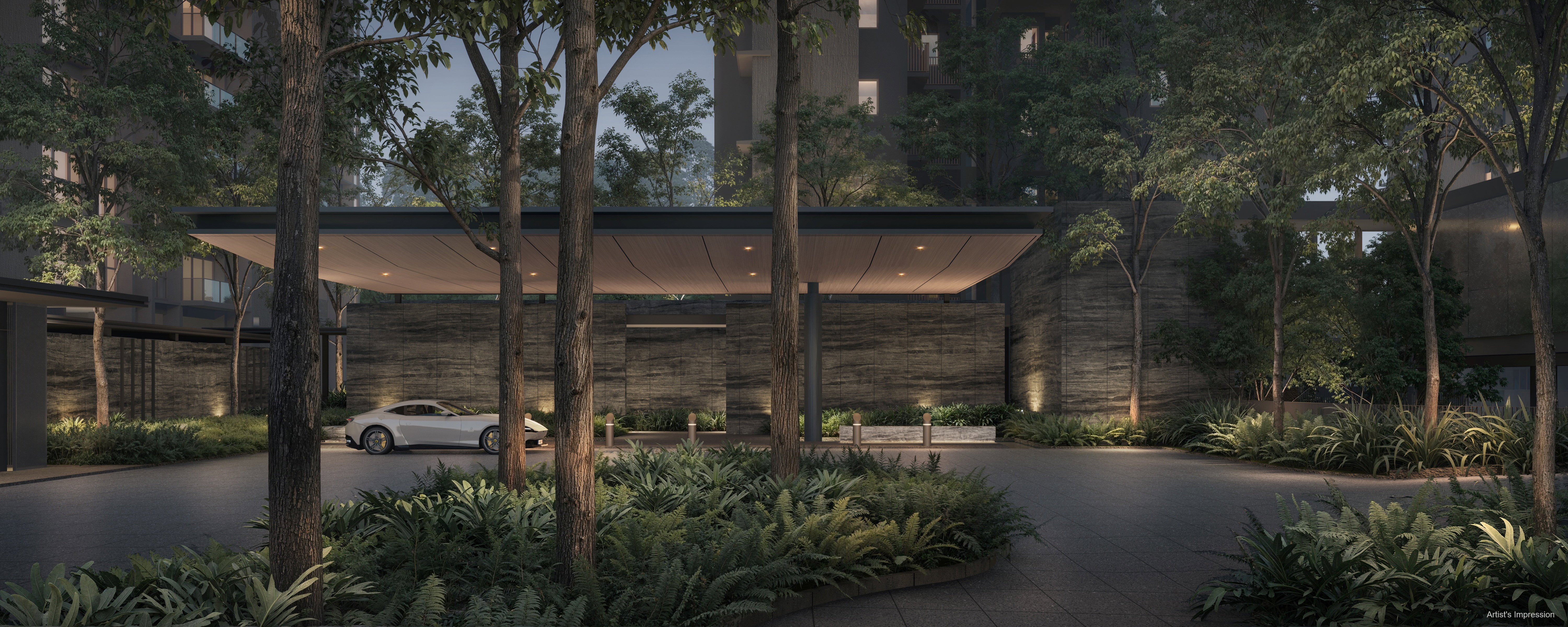
For homebuyers, this is a rare moment when a mature, well-loved district gets a planned new chapter. Dunearn House sits at the point where the old Bukit Timah meets the new one.
Sources include URA, the National Heritage Board's Roots.gov.sg Bukit Timah heritage trail, and SG101.
Interested in Dunearn House?
Dunearn House is the first private condominium in the Bukit Timah Turf City transformation. Get the latest price list, balance units and floor plans on WhatsApp, or work out your cash outlay with our calculator.